
A Guide to the Region's Best Trails
The Highlands-Cashiers Plateau is surrounded by public land. The Nantahala National Forest wraps around Highlands and Cashiers. Panthertown Valley protects about 6,300 acres of backcountry with nearly 30 miles of trails. Gorges State Park, at more than 8,000 acres, adds about 56 more miles along the Blue Ridge Escarpment.
That means you can find a trail for every kind of day. Some are short walks to a mountaintop view, others are half-day hikes past granite domes and waterfalls, and a few are serious climbs for experienced hikers. Look for the ★ Must-See label on the trails you shouldn't miss.
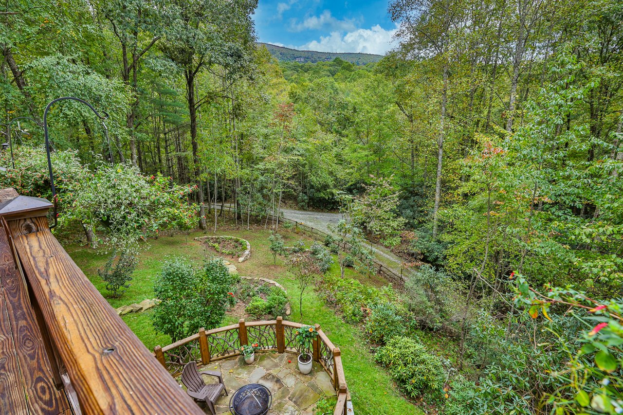
Trailside Living
These walks are short and gentle, so they're great for families, visitors, or anyone who wants a big payoff without a big climb.
★ Must-See | Highlands | About 0.5 mile each way | Easy
Just half a mile east of Main Street, a gravel road near the Highlands Nature Center leads about half a mile up to Sunset Rock, a set of open granite slabs with a view over the town of Highlands. As the name suggests, it's the local favorite for watching the sun go down. Park carefully near the trailhead and don't block the private drive.
Highlands | Just under 1 mile of paths | Easy
Next to the Highlands Nature Center, the gardens of the Highlands Biological Station have just under a mile of easy paths through native plants, wildflowers, and woodland around Ravenel Lake. The gardens are free and open year-round from sunrise to sunset, with trail maps posted along the way.
Highlands | More than 10 miles of connected paths | Easy
The Highlands Plateau Greenway links more than 10 miles of natural trails and sidewalks around town, connecting parks, natural areas, and historic sites. Pick it up on Oak Street between 2nd and 3rd Streets and walk as much or as little as you like. The greenway is open from sunrise to sunset.
Near Highlands | 0.75-mile loop | Easy
About 6 miles west of Highlands off US 64, Cliffside Lake Recreation Area in the Nantahala National Forest has an easy 0.75-mile loop around the lake, plus longer trails, picnic areas, and swimming and fishing in season. Fishing requires a North Carolina license, and there is a day-use fee.

Highlands Living
In Highlands, Sunset Rock, the Botanical Garden, and the Highlands Plateau Greenway are all just minutes from Main Street, so an evening walk or a sunset hike fits easily into any day. Close-in neighborhoods like Sunset Hills put you a short drive from all of them.
Ask us about homes in Highlands.
These hikes take a few hours and include real climbs, stream crossings, or rocky footing. Bring water, wear good shoes, and give yourself plenty of daylight.
★ Must-See | Between Highlands and Cashiers | 2-mile loop | Moderate
Whiteside Mountain is the Plateau's signature hike. Off US 64 on Whiteside Mountain Road, a 2-mile loop climbs to the 4,930-foot summit and follows the top of sheer granite cliffs more than 750 feet high, with views to the east, south, and west. The trailhead has parking and a restroom, and there is a day-use fee. Stay well back from the cliff edges.
★ Must-See | Near Cashiers | Hikes of all lengths | Easy to moderate
Often called the "Yosemite of the East," Panthertown Valley protects about 6,300 acres of backcountry with roughly 30 miles of trails, granite domes, creeks, and waterfalls. From the Salt Rock Gap trailhead, the closest entrance to Cashiers, it's just a quarter mile to an overlook with views of Big Green and Little Green Mountains. The Panthertown Valley Trail runs about 3.3 miles across the valley to the Cold Mountain Gap trailhead, passing the Sandbar Pool along the way, and the Great Wall Trail follows a 300-foot granite face for about 1.6 miles. A map is a must, and parking fills early on weekends.
Highlands | About 0.5 mile from the end of Satulah Road | Moderate
You can start this one on foot right from downtown Highlands. Walk south up 4th Street and follow Satulah Road to its end, where an old roadbed climbs about half a mile to the 4,543-foot summit. The top opens up to a 270-degree view to the south, east, and west.
Near Highlands | About 3.2 miles round trip | Moderate
Starting from the Glen Falls parking area off NC 106, the Chinquapin Mountain trail crosses several streams and climbs about a mile of switchbacks to the top. It's a quieter alternative to the busier summits, and you can pair it with a visit to Glen Falls.
Near Highlands | About 2-mile loop | Moderate
East of Highlands, Bull Pen Road leads to the Iron Bridge over the Chattooga River, where a roughly 2-mile loop follows the river through the woods. It's a good family hike. For a longer day, the Chattooga River Trail continues about 6.25 miles one way to Whiteside Cove Church, so you'll need a car at each end.

Cashiers Living
From Cashiers, the Salt Rock Gap entrance to Panthertown Valley and the Whiteside Mountain trailhead are both a short drive away. In Lonesome Valley, residents have about nine miles of private trails with connections toward Panthertown.
Ask us about homes in Cashiers.
These are full-day hikes with big climbs, long distances, or both. They're best for experienced hikers in good shape. Start early, carry plenty of water, and know your turnaround time.
Near Highlands | About 4.8 miles each way | Difficult
From Buck Creek Road off US 64 east of Highlands, this long ridge hike runs about 4.8 miles one way to the summit of Yellow Mountain, with panoramic views at the top. Plan on a full day.
Near Highlands | About 2 miles each way | Difficult
From the Osage Overlook on NC 106, about 5.5 miles from Highlands, a two-mile section of the Bartram Trail climbs about 1,100 feet up Scaly Mountain. The payoff is a wide view over Blue Valley and Tessentee Valley.
Near Highlands | About 3 to 3.5 miles each way | Moderate to difficult
Two trails lead down opposite sides of the Chattooga River to Ellicott's Rock, a historic boundary marker in the remote Chattooga backcountry. Both trailheads are off Bull Pen Road past the Iron Bridge. The Bad Creek Trail is the easier choice at about 3 miles one way, while the Ellicott's Rock Trail is a tougher 3.5 miles. Either way, the climb back out is the hard part.

Our guide to the Plateau's best falls
Many of the Plateau's best trails end at a waterfall, from Rainbow Falls in Gorges State Park to Schoolhouse Falls in Panthertown Valley. Our waterfall guide covers more than a dozen falls, from roadside favorites to backcountry hikes, with trail lengths, difficulty, and tips for visiting.
East of Cashiers, the land drops off the Blue Ridge Escarpment into some of the most dramatic terrain in the region, with deep gorges, wild rivers, and waterfalls at the end of many trails.
★ Must-See | Gorges State Park | About 1.5 miles each way | Moderate
From the Grassy Ridge access area of Gorges State Park on NC 281 south of Sapphire, the trail drops about 800 feet to the Horsepasture River and Rainbow Falls, which plunges 150 feet. It's the most popular hike on the Sapphire side of the Plateau, and Turtleback Falls is just ten minutes farther upstream.
Near Sapphire | About 0.6 mile round trip | Easy
South of Sapphire on NC 281, a paved, wheelchair-accessible path leads from the parking area to an overlook of Upper Whitewater Falls, which drops 411 feet. For a closer view, 154 wooden steps continue down to a lower overlook. There is a day-use fee.
Lake Toxaway | About 1.2 miles each way | Moderate
The Cold Mountain Gap trailhead near Lake Toxaway is the shortest way into the east side of Panthertown Valley. The trail descends to Greenland Creek and Schoolhouse Falls, where a wide pool sits below an 18-foot drop. Parking is limited, so arrive early.

Sapphire Living
Around Sapphire, the trails start close to home. In Bald Rock and The Divide at Bald Rock, residents have their own trail access into Panthertown Valley, and Gorges State Park, with about 56 miles of hiking trails, is just south on NC 281.
Ask us about homes in Sapphire.
For many people who live on the Plateau, a hike is just part of a normal weekend. From Highlands, Sunset Rock, Satulah Mountain, and the Greenway are minutes from Main Street. Cashiers sits between Whiteside Mountain and Panthertown Valley. Sapphire and Lake Toxaway are close to Gorges State Park and Panthertown's eastern trailheads, and Glenville is a short drive from Panthertown's Salt Rock Gap entrance.
Many of these trails also lead to waterfalls. See our guide to Plateau waterfalls for more.